On August 4th, 2020, the Port area of Beirut was rocked by two massive explosions, killing over 200 people and wounding more than 6,000. Buildings were destroyed or damaged within a 10 km area around the port, including an estimated 70,000 apartments and nearly 40,000 residential or commercial areas.
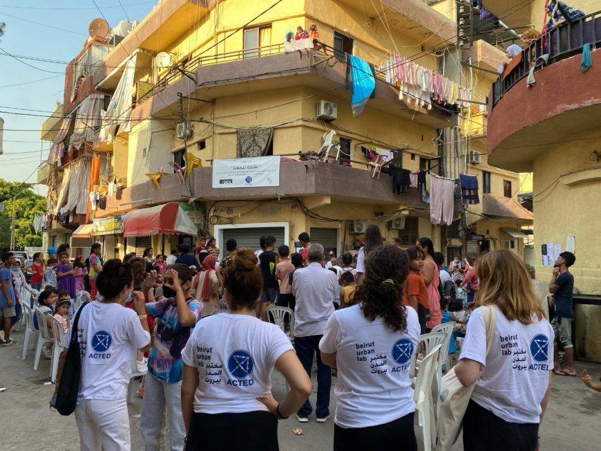
ACTED released six Urban Snapshots focusing on the neighborhoods most affected by the explosions: Karantina, Mar Mikhael, Geitawi, Badawi, Bachoura, and Karm el-Zeitoun. These reports are based on extensive research and social mapping which was conducted in partnership with Beirut Urban Lab with funding from UNHCR.
Sharing actionable information to better answer the populations needs with the reconstructions
The reports were designed to inform reconstruction actors’ understanding of the urban processes underway prior to the blast. It was important to focus on processes that may slow or threaten the return of residents and the recovery of the neighbourhoods. Wherever possible, the aim was also to orient actors to potential community projects of social significance.
Each Urban Snapshot analyses the effects of the explosion within the larger urban trends that have influenced the different neighborhoods over the past three decades. They do so by providing a preliminary urban documentation and analysis of the neighborhood conditions -including a brief historical overview, insights about contextual urban trends, profiles of stakeholders, and a brief review of socio-spatial conditions. To the extent possible, they cover both urban trends and recovery efforts at the household, building, and neighborhood scales. The reports provide a solid understanding of the economic, social, and political forces that influence Beirut’s ongoing urbanization.
These detailed studies unravel some of the critical threats that are likely to undermine the recovery of each neighborhood, including dwellers’ return, the rehabilitation of shared spaces and amenities, the reignition of economic activities, and the restoration of tangible and intangible heritage.